You can make high resolution, full color printouts of your maps and maps.
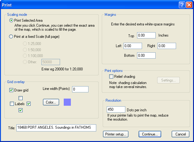
Click the Print command from the Map menu to display the Print dialog.
You can also right-click on a Route or Track, click Operations/Print. This will make a multi-page printout that covers the route or track at a specific scale.
Two styles of printing are supported.
Print Selected Area gives you full control of the rectangular area that is printed. The area selected is scaled up or down to fit the printed page.
Print-to-scale prints a map at a specific scale.
When you click "Continue", you can move or resize the frame to select the specific area you want printed. The frame is initially set to a little less than the area visible in the map window. The selected area will be scaled to fit the page.
If you want to print the map at a particular scale (eg, so you can easily measure distances on the hard copy), first scroll the map to place the center of the area you are interested in at the center of the window. The select the Map / Print... menu command. A dialog is displayed allowing you to select the scale.
You can select from common standard scales, or enter the exact scale you want (eg, for 1" to the mile, enter 63360).
When you click "Continue", you can move or resize the frame to select the specific area you want printed. The size of the frame is restricted to the size of the printed page. If you make the frame smaller, the area printed will not fill the page.
Disclaimer: the accuracy of the scale of the printed map depends on many things beyond Memory-Map's control. You must check that your printer is not distorting or scaling the image.
Relief shading uses the elevation data to enhance the 3D look of the map.
Grid Overlay draws thin lines on the map to allow you to plot positions from a GPS. The overlay grid uses the currently selected Position Format (See Mode menu).
Margins allows you to add white space around the map.
Use the Labels check-boxes to add grid calibration labels. On a small page of output, you usually only need this on one side and on the top or bottom, but on larger sheets, it is convenient to add it to all four sides. The check-boxes let you control the labels on each side independently.
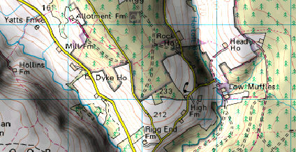
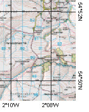
The sample shown here has the Lat/Long grid enabled, and labels in the bottom and right margins.
Notes: Printing larger than tabloid size (13x19 inches) requires a Memory-Map Professional license. When prompted you can use the Demo license to make sure the output is what you need from your printer.