AUSTopo 1:250k 2025
We are introducing the new 1:250,000 AUSTopo Map from Geoscience Australia. AUSTopo is a modern, comprehensive digital map collection for Australia, with updates happening as needed. We have merged all the latest maps into a seamless mosaic.
The release of the new 1:250,000 maps is occurring systematically. Currently the map covers all of Australia except WA and TAS.
- Buy AUSTopo 1:250k 2025 (Special introductory price of $19.99 including GST)
Key Information:
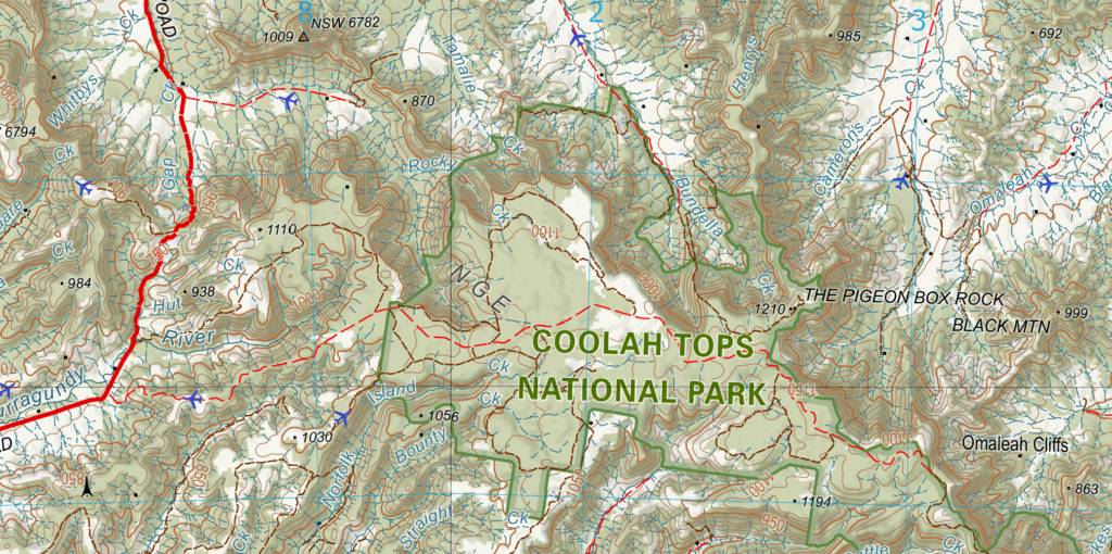
- What it is: The primary digital topographic map series for Australia at 1:250,000 scale, replacing older paper series.
- Coverage: Currently QLD, NSW, VIC, NT and SA. (WA and TAS will be covered in a future edition).
- Content: Roads & tracks, rail, water features, contours (50m), vegetation, administrative boundaries, and locality information.
- Format: High definition QC3 format for use in any of the Memory-Map apps.
- Currency: The 2025 edition contains all the AUSTopo maps published between 2023 and 2025.
Based on AUSTopo by Geoscience Australia which is © Commonwealth of Australia and is provided under a Creative Commons Attribution 4.0 International Licence and is subject to the disclaimer of warranties in section 5 of that licence.
